We have created a historical map to tell the story of our area from ancient times to today. This has been an engrossing and sometimes challenging experience!
First of all, we had to agree where 'Downend' begins and ends, so what to include on the map. As the area has grown up over many centuries, and is still expanding today, there are no exact boundaries.
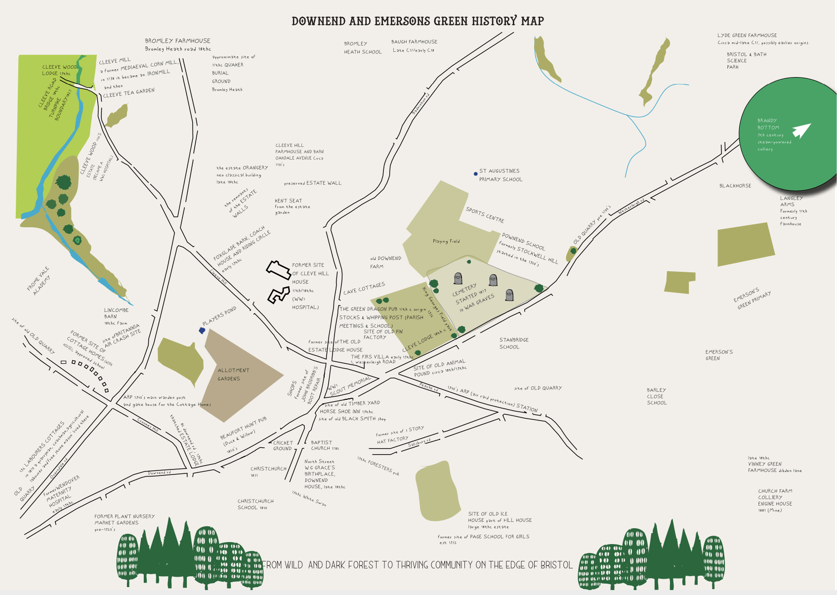
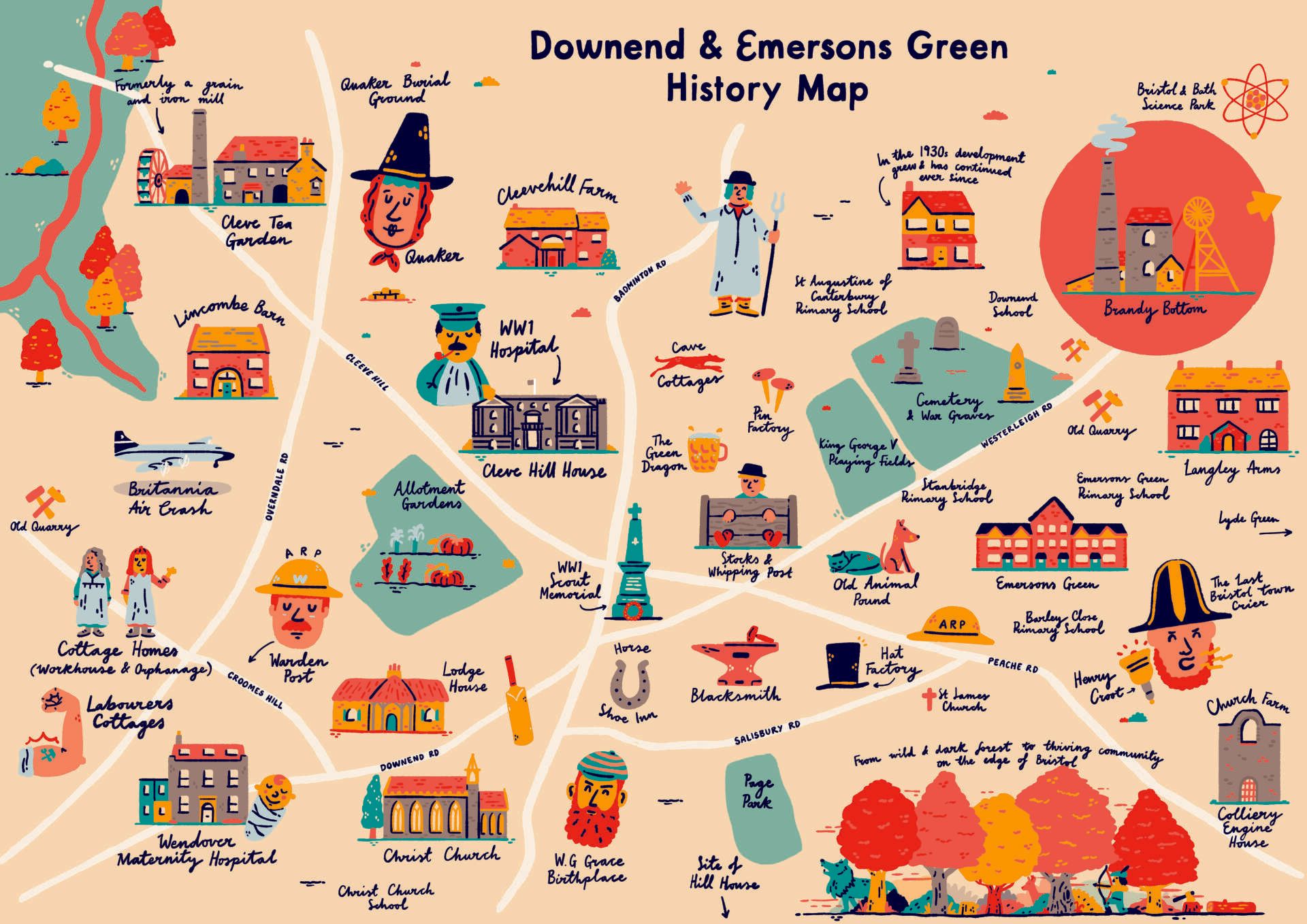
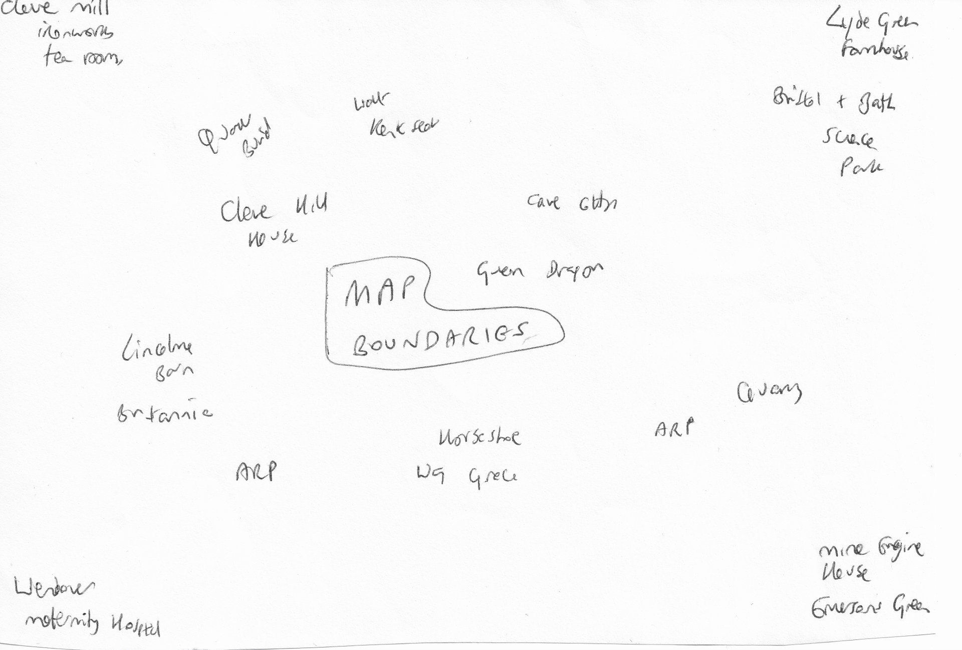
After researching at length in documents, maps, photographs and online, as well as liaising with local historians, we decided that our map would cover the area from Cleve Tea Garden (formerly a grain and iron mill) in the northwest to Bristol and Bath Science Park in the northeast, the Colliery Engine House at Emersons Green in the southeast and Wendover Maternity Hospital (now the Red Bus Nursery) in the southwest.
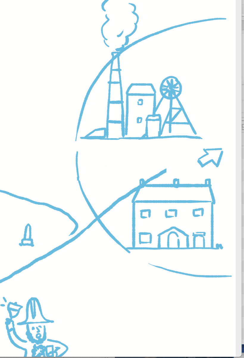
This image shows our rough working out of what to cover in our map.